Congressional Redistricting: A History of Jumping the Bay
The Legislative Redistricting Advisory Commission, created by legislative leaders to draw up congressional and legislative maps for the General Assembly to consider, proposed a 1st Congressional District that would cross the Chesapeake Bay Bridge to include portions of Anne Arundel County with the Eastern Shore.
The 1st District currently loops north through Harford County, but crossing the Chesapeake Bay in congressional maps is nothing new. Prior to the current maps, the 1st District crossed the Bay into either Anne Arundel County or Southern Maryland for decades.
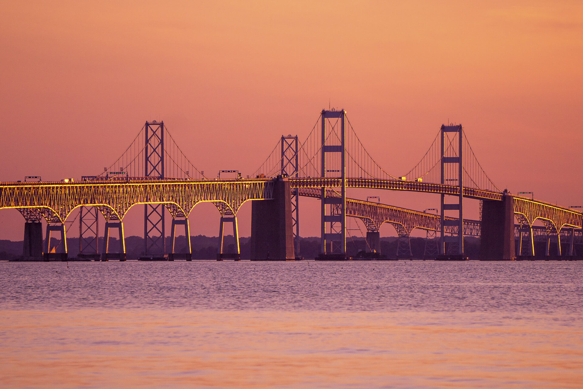
Proponents of such a configuration argue the Eastern Shore and Anne Arundel County are intrinsically connected via the Chesapeake Bay Bridge, since many commute daily between the two regions for work and shopping.
“Both regions have the same economic and environmental interest in protecting the Bay,” Anne Arundel County resident Marnette Finn said at a Nov. 15 Legislative Redistricting Advisory Commission virtual hearing.
Many who testified at that statewide virtual public hearing in November also urged lawmakers to draw a more competitive 1st District to challenge incumbent Rep. Andrew P. Harris, the state’s lone congressional Republican, citing his vote against certifying the 2020 election results after the Jan. 6 insurrection at the U.S. Capitol.
Wayne T. Gilchrest, a Republican former congressman who represented the 1st District from 1991 until 2009, said the 1st District proposed by the Legislative Redistricting Advisory Commission is “very similar” to the districts he represented, which also included parts of Anne Arundel County.
“I think they’re connected by the Chesapeake Bay Bridge,” Gilchrest said, “And yes, they are contiguous if you want to look at it that way.”
Gilchrest noted that the Eastern Shore of Maryland doesn’t have a high enough population to justify its own congressional district.
He was ousted by Harris in the 2008 primary elections. Harris subsequently lost to Democratic contender Frank Kratovil, but ran again and won in 2010 by a wide margin.
The 1st District was redrawn to be more solidly Republican in 2012, with Democratic lawmakers opting to draw a Democratic-leaning 6th District in Western Maryland at the time to achieve a 7-1 advantage. Harris has handily won reelection in the current 1st District since.
Under the congressional map proposed by the Legislative Redistricting Advisory Commission, however, the 1st District is slated to become significantly more competitive, though it doesn’t favor Democrats as much as another configuration the panel was mulling. According to the Princeton Gerrymandering Project, which gave the map an “F” grade, the proposed 1st District favors Democrats by a thin margin, roughly 51% to 49%.
In the congressional map proposed by Maryland Citizens Redistricting Commission, which was created by Gov. Lawrence J. Hogan Jr. (R), the 1st District does not cross the Bay at Anne Arundel County but instead includes Harford County and northern Baltimore County.
Here’s a brief history of the 1st Congressional District’s boundaries and when they’ve crossed the Chesapeake Bay in the past. All maps were provided by the Maryland Department of Planning.
1966-1970: The first crossing
The 1966 congressional map marked a shift away from districts that strictly adhered to county boundaries in Maryland following Maryland Citizens Committee for Fair Congressional Redistricting v. Tawes, a court case influenced by the 1964 Wesberry v. Sanders U.S. Supreme Court case, in which justices ruled that U.S. House of Representatives districts need to be roughly equal in population.
Congressional districts had been held steady for decades before that court case. The 1st District had long included only the Eastern Shore, starting with Cecil County in the north and extending south to the border with Virginia. In the consequential 1966 map, the Eastern Shore was kept whole but a large portion of Anne Arundel County, alongside all of Calvert and St. Mary’s counties, were added to the 1st District.
1972-1990: Southern Maryland with the Eastern Shore
In the two subsequent rounds of redistricting, Anne Arundel County was kept with portions of Prince George’s County and the 1st Congressional District crossed at Calvert County rather than at the Chesapeake Bay Bridge.
Between 1972 and 1990, Calvert, Charles and St. Mary’s counties were kept whole and included with the Eastern Shore. Harford County was entirely included with the Eastern Shore in the 1972-1980 map, while just roughly the western half of the county was included in the 1st District between 1982 and 1990.
1992-2000: Crossing returns to Anne Arundel County and parts of Baltimore City
In 1992, Democratic U.S. Rep. Steny H. Hoyer’s 5th District began to take on its current, familiar shape, encompassing all of southern Maryland and looping up to include the area around College Park in Prince George’s County. It also took in large portions of western Anne Arundel County and parts of southern and eastern Prince George’s County.
The portion of the 1st District on the western shore was drastically reduced, including parts of central and northern Anne Arundel County and a small portion of far southern Baltimore City. This configuration included Harford County with the 2nd District as opposed to with the Eastern Shore.
As recently as 2000, this map resulted in a 4-4 partisan breakdown, with the 1st, 2nd, 6th and 8th districts electing Republicans.
2002-2010: The most recent crossing at Anne Arundel County
The 2002 map included even less of Anne Arundel County with the 1st District. The 1st District also began to take in more of northeastern Maryland, snaking through central Harford County and reaching portions of Baltimore County, where Harris resides.
This map favored Democrats 6-2.
2012-present
The current map is the first to not cross the Chesapeake Bay at Anne Arundel County in decades, and instead includes a larger portion of northeastern Maryland. A large portion of Harford County, parts of Baltimore County and the northern and eastern portions of Carroll County are all included in the 1st District as it is currently drawn.
This represents the state’s current 7-1 partisan breakdown after the 6th District was redrawn to favor Democrats.
Bonus: Every congressional map in Maryland’s history
Here’s every congressional map Maryland has ever had. Note that the number of U.S. Representatives has varied over the years.
Bennett Leckrone
Reporter
Bennett Leckrone was a Report for America corps member at Maryland Matters through May 2022. He is a December 2019 graduate of the E.W. Scripps School of Journalism at Ohio University. Leckrone has interned at The Chronicle of Higher Education, The Columbus Dispatch, PennLive.com, The Dayton Daily News and The Troy Daily News.
Related Articles

Two powerful Black officeholders from Prince George’s turn against their county executive, while The Washington Post editorial board takes sides in the primary.

‘The liquor store was open during COVID, but not the reentry programs,’ an advocate notes.

Leaders highlight the GOP Senate candidate’s history of vetoing legislation on health care, housing bills during his term as governor.
 Creative Commons Attribution